Hike Wire Pass to Buckskin Gulch: Avoid My Mistakes!
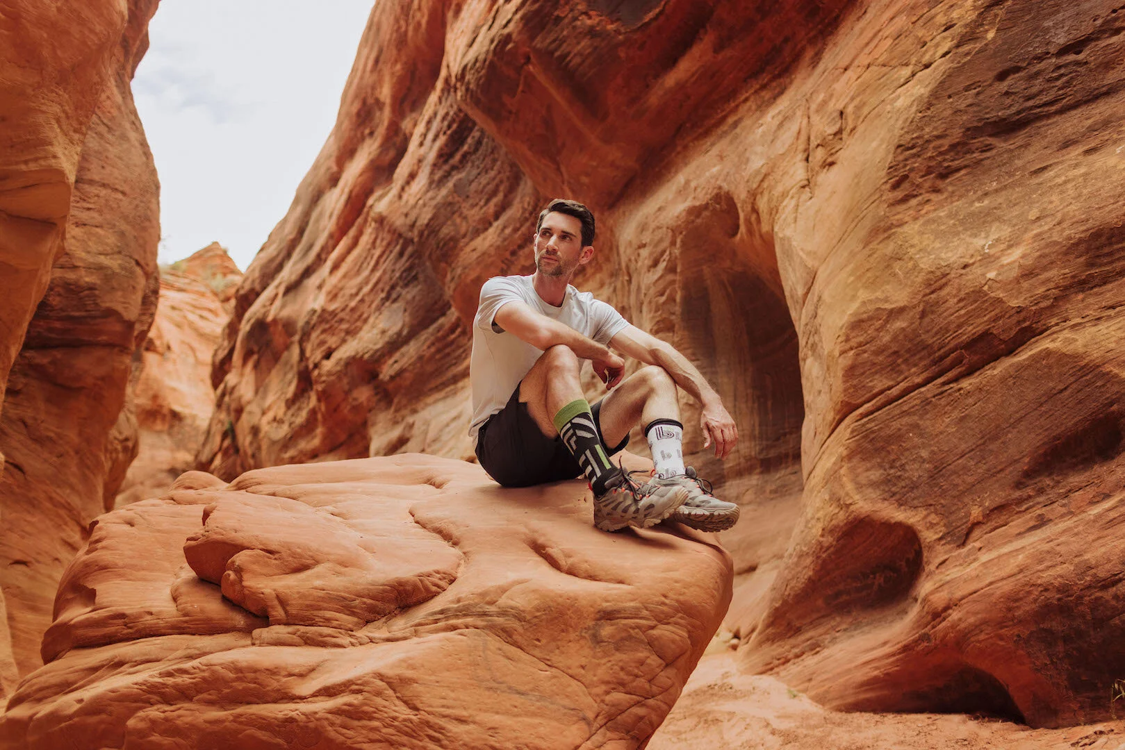
There’s an easy way, and a longer way to get to the famous slot canyons between Page, Arizona, and Kanah, Utah. We took the lengthier, more confusing route, but loved it in May.
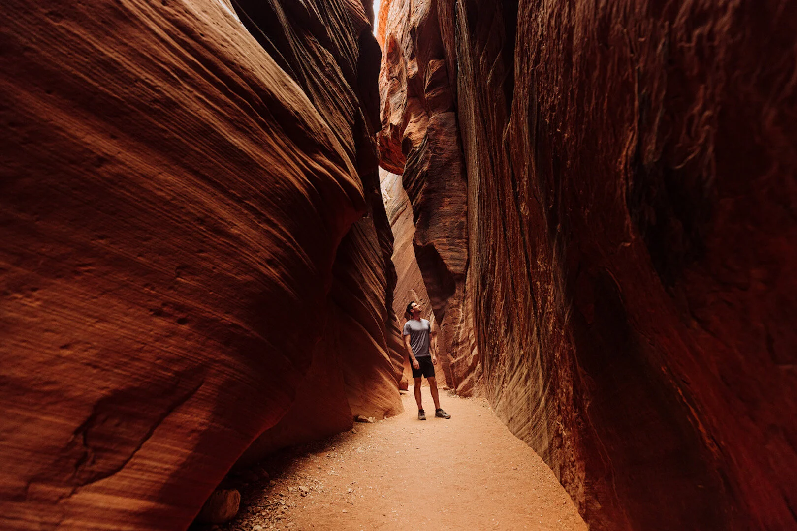
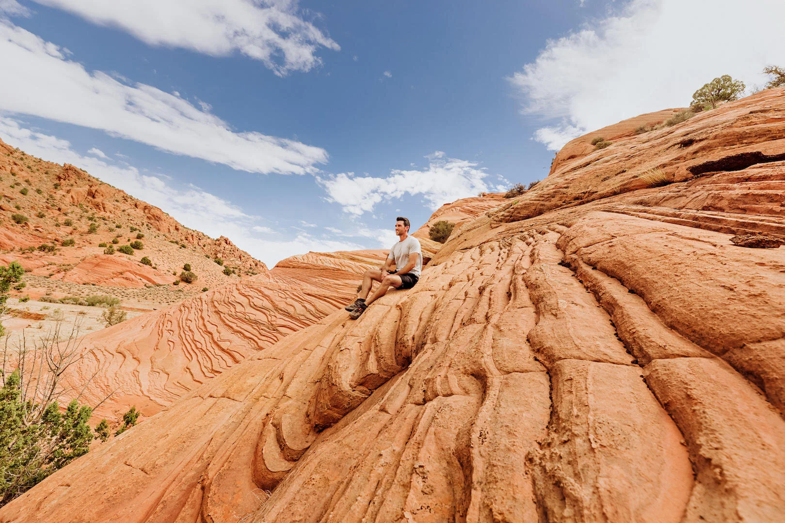
The easiest way is to park at the Wire Pass Trailhead. From here, it’s about a mile-and-a-half through beautiful sandstone rock formations before you get to the slot canyons.
We parked at the Buckskin Trailhead, which leads you miles through a wash, before you get to the canyons. We ran into dozens of hikers on the trail, just as confused as we were… all wondering if we’d gone off-track. We estimate that we added another 7 miles (or so) by going this route. That includes some circular backtracking, etc.
An hour west of Page, AZ, you turn off Highway 89 onto House Rock Valley Road, a dirt road, which ranges in condition through the year. It’s a slow-go if you’re in a sedan. Expect ruts and bumps. The Bureau of Land Management does a good job maintaining the area, and their staff is always friendly to run into on the trail.
There’s little or no cellphone coverage in the area, so downloading the map off AllTrails.com would help navigate your trip.
There are no real inclines (aside from a dropoff in the slot canyon) so the hike is accessible for all ages and abilities.
While people spend years (literally) trying to secure a pass to the nearby, Instagram-famous hike known as “The Wave,” Buckskin Gulch is easy to access. You can pay online at recreation.gov, or simply drop $6 (six dollars!) in an envelope at the trailhead.
If you’re going the long route (from the Buckskin Trailhead), take twice as much water as you think you’ll need. You’re exposed to the sun with little shade for much of the trek, and we went through about 3 liters each (and wish we’d brought more).
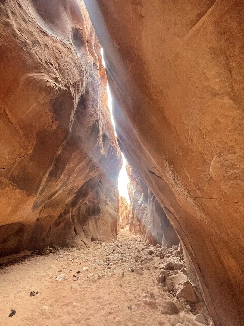
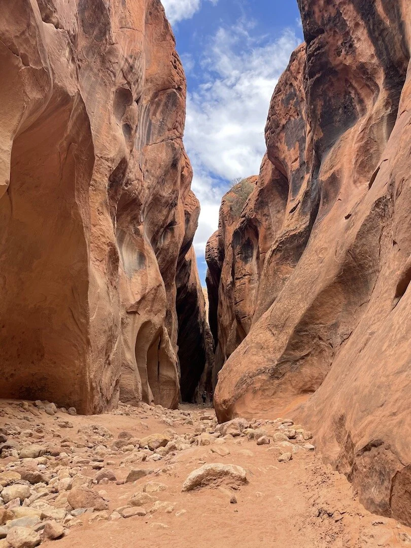
If you’re there in the warmer months, you’ll notice the temperatures plummet inside the shadowy slot canyons, making them even more enjoyable.
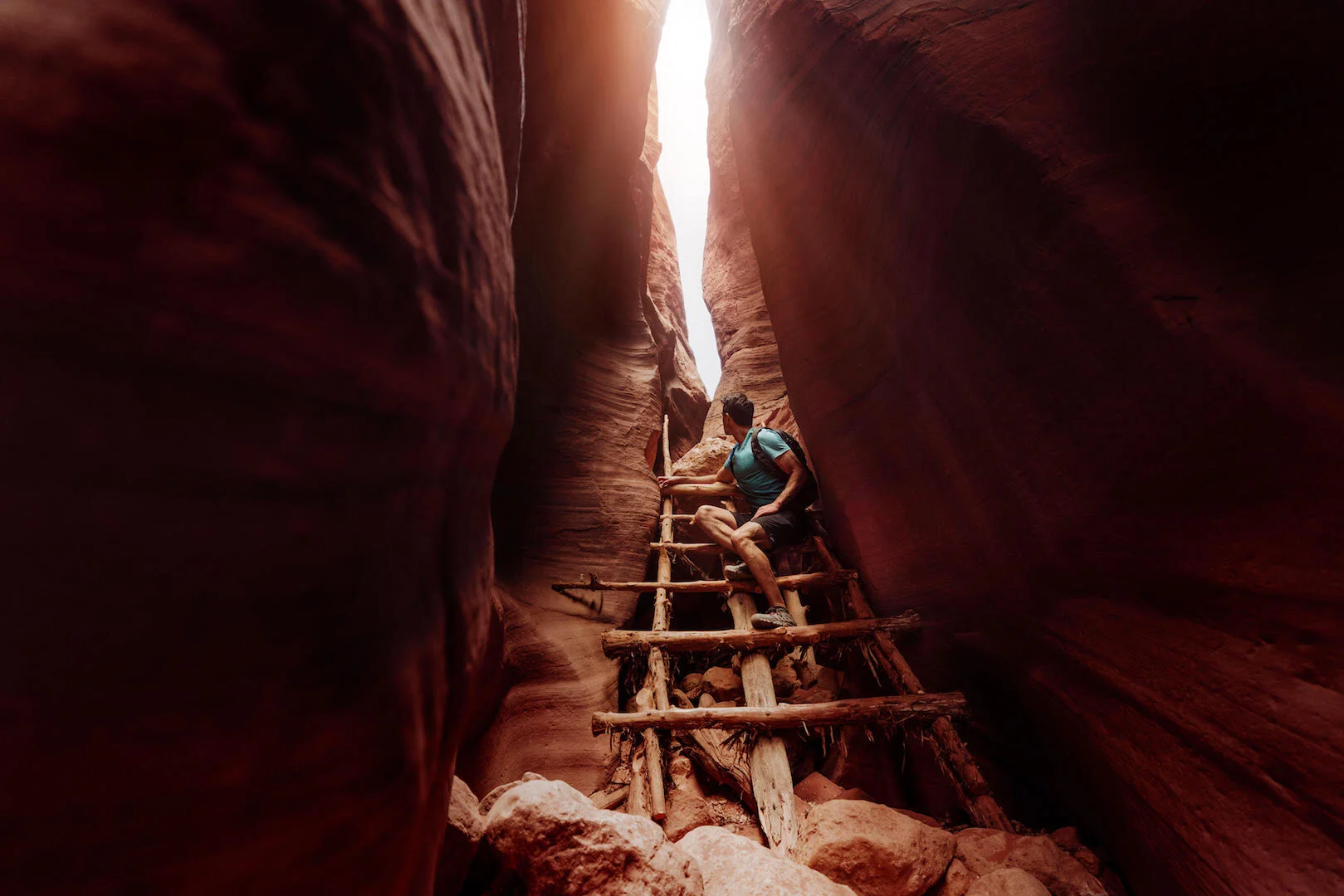
No matter the season, check the weather forecast for the area. The slot canyons are infamous for flash floods. A few days after our trip, the ladder used to climb a 10-foot incline (photo below) was washed out in a flood.
This is especially important during the monsoon season in the Southwest, which generally runs July through September. Hikers will often have to navigate through pools of water in the canyon, a few feet deep.
If you’re still trying to get permits to hike “The Wave,” like we are, all of the information can be found at this BLM site.
Check out our other blogs with advice on other stunning hikes in Southern Utah and Northern Arizona, like Alstrom Point and Horseshoe Bend !

